
Commissioned study · map sheets and a reading
Operations mapping study
A four-to-eight-week reconstruction of how your freight actually moves — yards, corridors, idle time — drawn as map sheets and read at the table.
Maps of how freight actually moves — yards, corridors, and the hours in between
What can be commissioned
Each piece of work ends as paper: map sheets, an overlay of hours, and a sitting at the table where we read them aloud. Choose the study that matches how wide you want the picture.
We do not sell software seats. We reconstruct movements from manifests, yard books, and visits to the gate, then draw what the week actually did. The flagship is an operations mapping study. The shorter pieces — a single corridor, a depot’s catchment, a peak-versus-slack comparison — sit beside it when a full reconstruction would be more picture than you need.
Commissioned study · map sheets and a reading
A four-to-eight-week reconstruction of how your freight actually moves — yards, corridors, idle time — drawn as map sheets and read at the table.
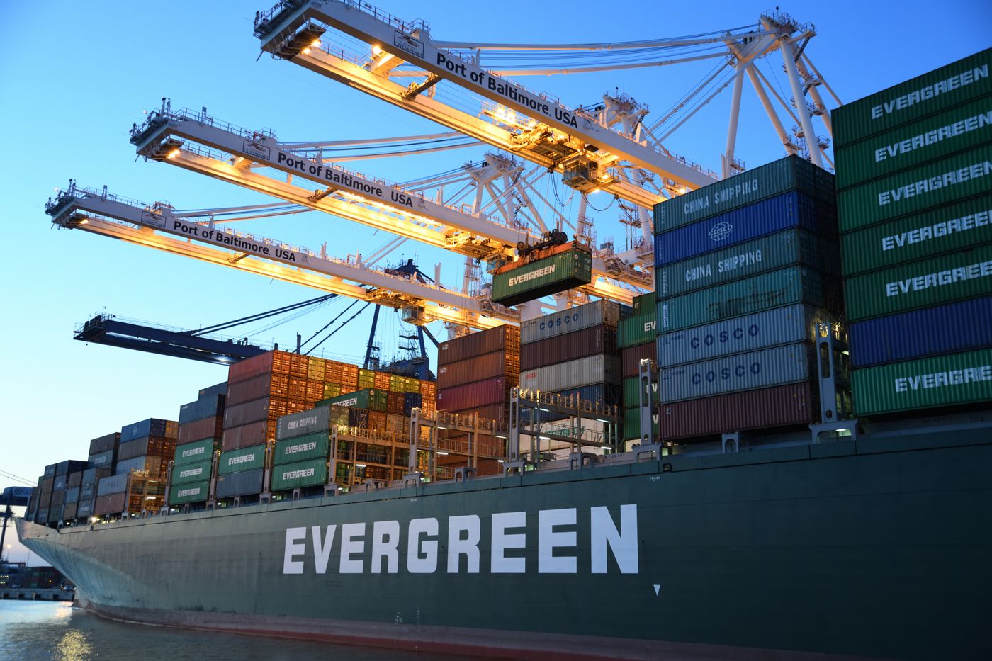
Focused drawing of one named corridor
One named haul drawn with its real waits: port queues, pass hours, and the towns where trucks actually rest.
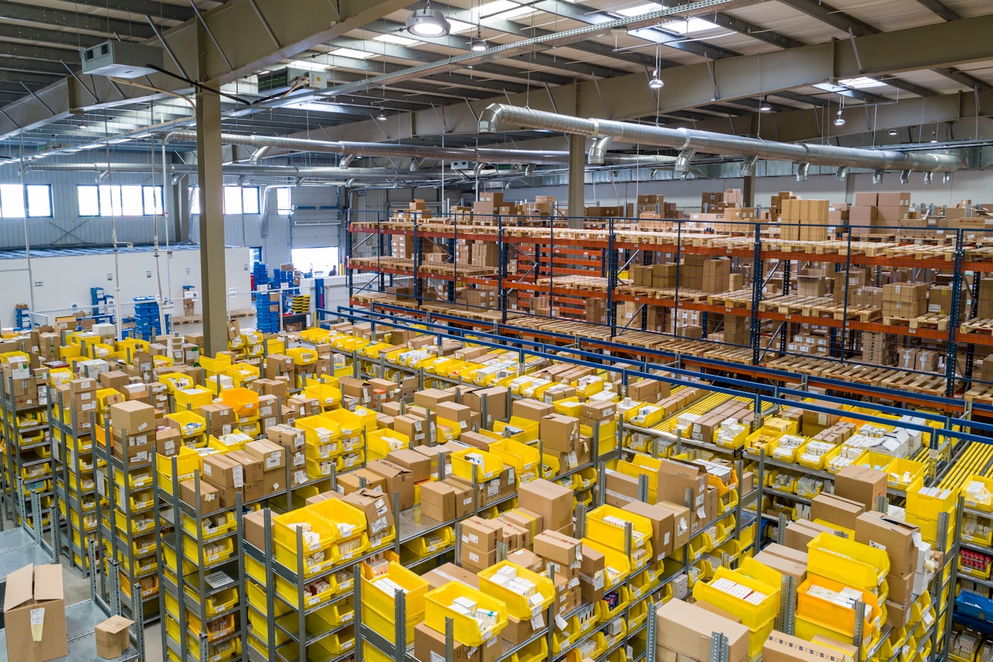
Catchment plates for one or two yards
The real area a yard feeds, drawn from deliveries and returns — not from the neat circle on the office wall.

Paired plates for two named periods
Peak weeks against slack weeks, drawn as a pair of plates so the office can see what the harvest, the holidays, or the port actually did.