Mapping work
Depot catchment drawing
Most yards inherit a circle drawn years ago with a compass. Deliveries tell a different story: a long finger toward one highway, a hole toward a river, a neighbour who already covers the 'own' towns.
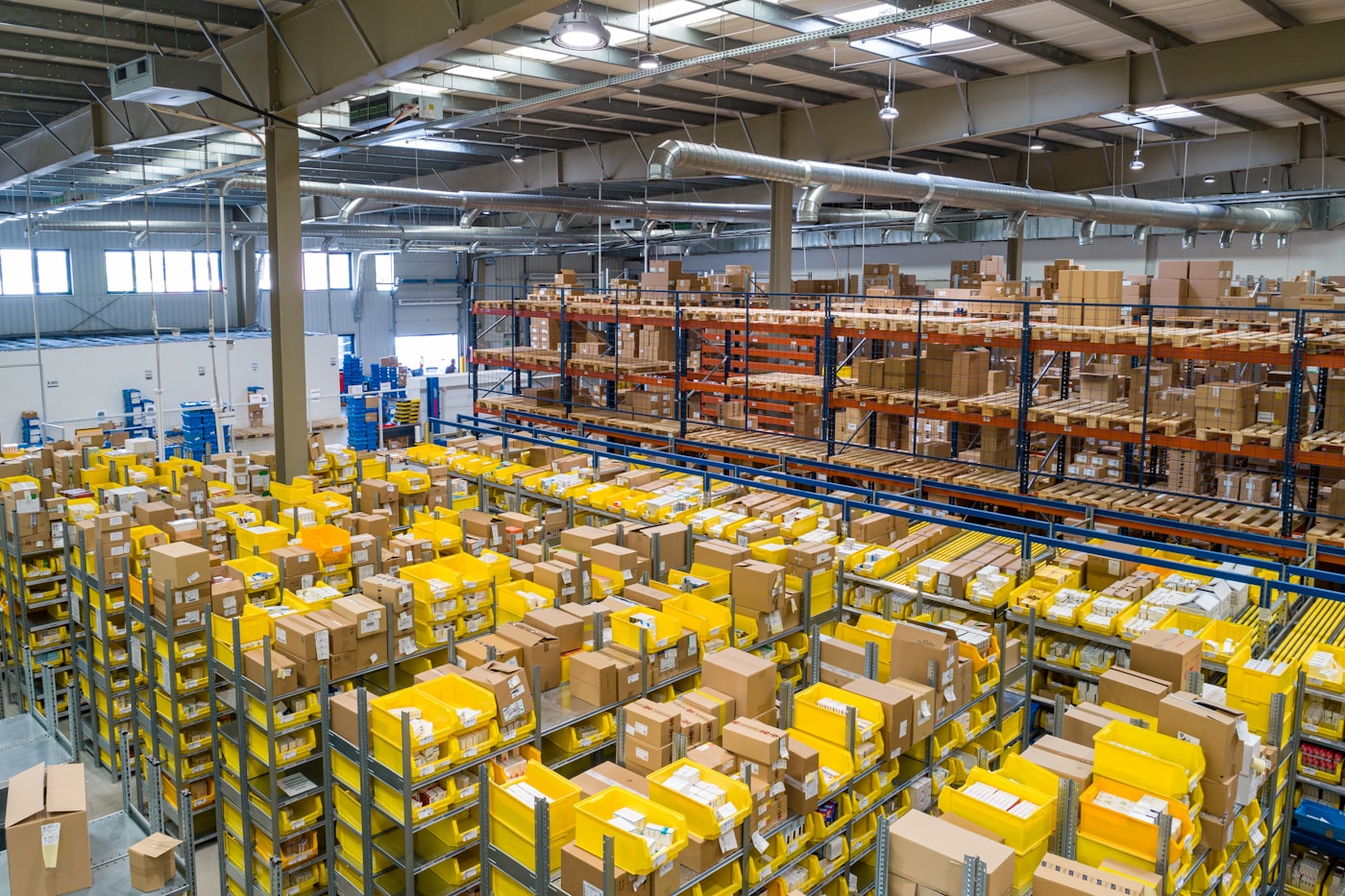
A depot on the edge of Tbilisi can look central on a tourist map and still feed almost nothing to the north of the river, because the bridges and the hour of the city make those drops expensive. A Kutaisi yard may reach the port towns more cheaply than a Poti store that sits in the wrong queue.
We draw catchments from where goods actually went, not from a radius the lease brochure promised. Overlap between two of your own yards is marked in a second colour. That mark is often the part of the sheet people argue about longest.
On the table
- A half-day at the yard to see staging and the gate
- Plotting of delivery points from a month of notes
- Overlap marks if you give us a second yard
- Draft and final plates
Not in this study
- Property search or lease advice
- Staffing plans
- A full operations mapping study
How a study proceeds
- Name the yard and the month of deliveries.
- We visit, plot, and send a draft.
- You correct doors we have misplaced; we issue the plate.
What we ask you to prepare
A month of delivery addresses or town-level drops, and a sketch of the yard's own idea of its radius.
Limits we name in advance
If drops are only recorded as 'west' or 'Kakheti', the plate will be coarse. Better records make a sharper catchment. We will say so before we start.